| Theme: | |
| Format: | |
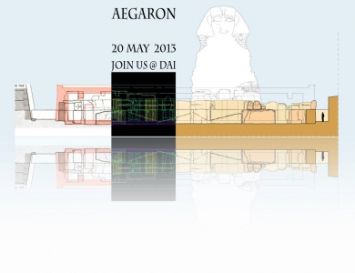
| Date: | May 20, 2013 3:30–10:00pm |
| Organized by: | DAI - German Archaeological Institute Cairo |
| Venue: | DAI - German Archaeological Institute Cairo |
| Address: | German Archaeological Institute, Cairo Department 31, Abu el-Feda, Zamalek, Cairo, Egypt |
| Event Language: | English |
| Website: | https://www.facebook.com/events/650757254950673/ |
To visualize settings, sites or spaces from the past in the era of 3D-scanning and rendering seems, at first glance, to require merely technical refinement. The audience, familiar with virtual worlds, animated movies and computer-games, has learnt to expect perfect illusions and well-arranged scenarios. But the archaeological record is fragmentary, scattered and interconnected mostly by hypotheses. Data tend to be overabundant and varied in character. Moreover they are useless without reference to sources and scholarly discussion.
How the digital humanities can approach this antagonism will be discussed on a symposium on 20 May 2013, organized by the German Archaeological Institute (DAI) Cairo. On this day the DAI launches its online initiative /AEGARON -- Ancient Egyptian Architecture Online/, an open access repository for standardized plans and data on Egyptian architecture. Invited international experts who contributed to the methodology of visualizing archaeological record and making it virtually accessible will discuss with an international audience in Cairo.
The Program:
15:30 Welcoming address: Stephan Seidlmayer
15:40 Introduction: Ulrike Fauerbach
16:00-16:30 Dominik Lengyel, Catherine Toulouse: The Visualisation of Uncertainty
The Visualisation of Uncertainty visualises uncertainty in archaeological knowledge. It reconstructs architectonic design ideas in compliance with archaeological hypotheses instead of pretending a true reconstruction. Projects shown are Cologne
Cathedral and preceding buildings, the acropolis of Pergamon, the royal city of Naga in Sudan and the Palatine Palace in Rome.
16:40-17:10 Tobias Rütenik: Spatial Relationships - Visualisation of Topographic Small-Scale Structures
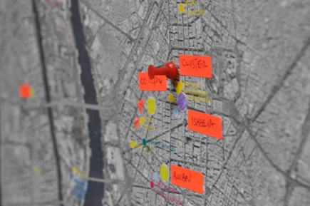
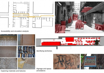
The project aims to combine, analyse and visualise social, formal and linguistic characteristics of old cemeteries. One focus is on the statistic interpretability by means of a controlled vocabulary/standard for data record in a database. To display the results of the data analysis a mapping tool will be developed which can be used in a normal internet-browser without specialized GIS software.
17:20-17:50 Coffee Break
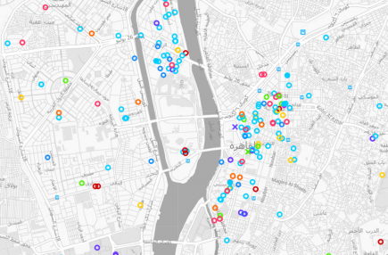
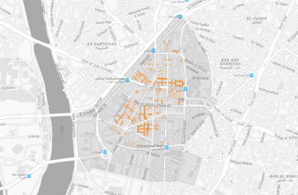
17:50-18:20 Dina Bakhoum: The Theban Mapping Project
Since its inception in 1978, the Theban Mapping Project (TMP, now based at the American University in Cairo) has been working to prepare a comprehensive archaeological database of Thebes. The TMP believes that the first and most essential step in preserving this heritage is a detailed map and database of every archaeological, geological, and ethnographic feature in Thebes.
18:30-19:30 Ulrike Fauerbach, Abla El-Bahrawy, Salma Khamis, Martin Sählhof, Eman Shokry:
Visualising Egypts Architectural Record - The Aegaron-Project
AEGARON is an online repository for standardized plans and data on Ancient Egyptian Architecture, which was started by the German Archaeological Institute Cairo (DAIK) and the University of California, Los Angeles (UCLA) in 2010 and went online
in 2013. The project pursues the improvement of the general standard of architectural representation by using a consistent visual language and by accounting for the sources of each drawing with a critical apparatus.
T he speakers form the Cairo based members of the project. The team members from Los Angeles will participate via video conference.
20:00-22:00 Reception
Computers will be available to try out the projects online contents.